Find your way with these Google Maps alternatives
Go off-piste with our pick of the five best map apps

Time and time again, Google Maps has proved a lifeline to those lost and longing to get home. It’s a saving grace for commutes and opens doors to new cities. It comes with far too many features to mention: 360-degree street view, saved locations, real-time traffic updates, and whether a route is wheelchair accessible. Is a restaurant busy? Ask Google Maps. Want to create a personalised travel guide? Your ol’ friend Google Maps can help. But when it fails, what are the Google Maps alternatives?
After all, there are many things Google Maps just doesn’t cut it for, though. Google Maps can get you from A to B but doesn’t work well off-road. There are oodles of map apps out there for special interests, from discovering galleries and museums to finding the best coffee in an unfamiliar city.
Best for workout routes: Strava
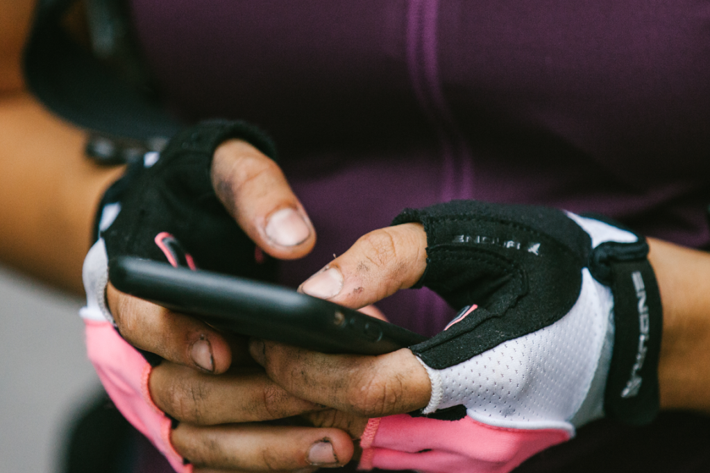
Strava has long been the map app of choice for off-road mountain bikers and joggers of all terrains. It syncs with pretty much all GPS watches and head units and is pretty great at making solo running social through its friend features.
A Strava subscription – £47.99 for the year or £6.99 a month – unlocks a whole heap of extras and mapping features. Its route planner is impressively intuitive, and can be drawn along roads, ramble routes or by following the heat maps of others who’ve discovered new pathways themselves. For the competitive, a paid for membership comes with filtered leaderboards and a training log. For those easily lost, the Strava Beacon will also beam your location to friends as you run.
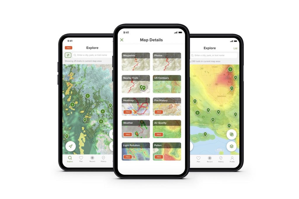
Best for detail: OS Maps
There’s something nostalgic about an Ordnance Survey. They can be a little confusing, and in a world of smartphones may be unnecessary, but this fold-out form of traversing the wilderness doesn’t seem to be going anywhere soon. Take one out on a windswept and rainy moor, though, and it’ll be ruined in five minutes. The Ordnance Survey has been creating maps since 1791, but with OS Maps it enters the digital age and provides easy way of exploring the countryside.
OS Maps (the app) offers everything an OS Map (er, the map) does, but on your phone. The free version offers access to Britain-wide basic mapping, and is constantly updated with new pathways and routes. A £28.99 yearly subscription unlocks access to 607 OS maps covering the whole of Great Britain, including routes drawn up by the Good Pub Guide. The paid for version also offers some slightly unnecessary but undeniably fun features, such as 3D walk fly-throughs and augmented reality landmark hunting. It’s certainly one of the best Google Maps alternatives.
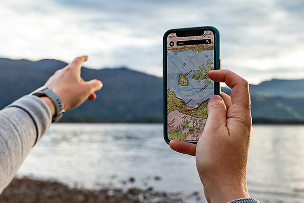
Best for hiking trails: Alltrails
Alltrails is an anorak’s guide to the great outdoors, an app that offers trail maps curated by seasoned walkers and casual strollers. It couldn’t be easier to use, too.
Type a location into the search bar and (depending on where you are) dozens of hand-drawn routes will pop up from its database of over 350,000 maps. It’ll tell you the distance, elevation gain, whether it’s a looped or straight walk and how tough the route is based on reviews by other ramblers. It offers many routes that are wheelchair accessible, too.
Best for travel: Spotted by Locals
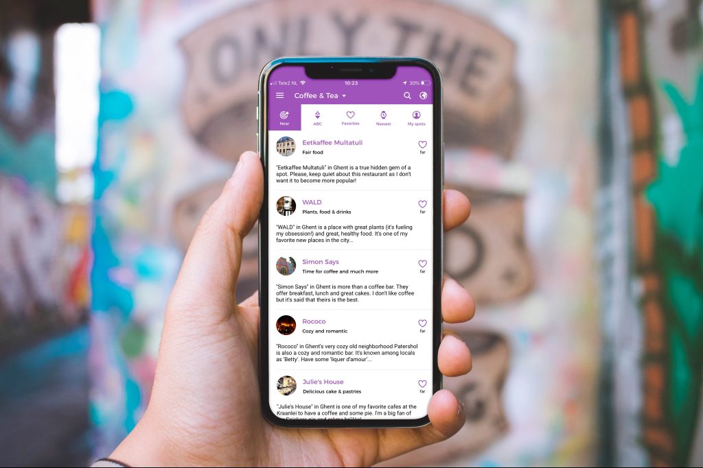
It’s a universal truth that the worst thing about being a tourist is other tourists. That’s where Spotted by Locals comes in, which hosts insider guides for 82 cities across the world curated by people who know what they’re talking about (the people who live there). Want to find the best fish and chips in Manchester or pizza in Chicago? Don’t ask Tripadvisor or, please we beg, anywhere that has photos of food on the menu. Go to Spotted by Locals, which has you covered with trusted tips.
As the name suggests, Spotted by Locals is a map app that crowdsources tips and back alley spots from people local to that city. Tippers, or ‘spotters’ as the company calls them, are all handpicked by Spotted by Locals and come with a wealth of collective knowledge. Think of it as a tour guide for those who want to be left alone.
Best for getting from A to B: Citymapper
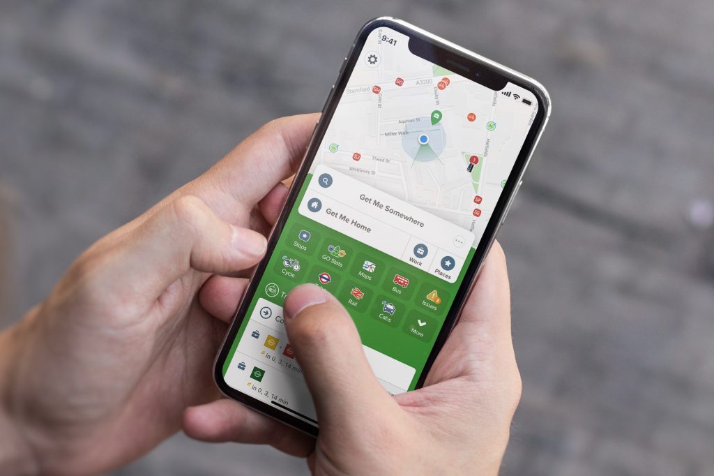
Sometimes, the last thing you want to do is discover some hidden gem, ramble around in the woods or hike up some great peak in pummelling rain. Sometimes, you just want to get to where you’re going. From London to Lisbon via Marseille, Milan and Madrid, Citymapper is a no frills (but still very informative) candidate for our list of Google Maps alternatives that gets you to your destination with no fuss.
What Citymapper does best, though, is how it works with public transport. Whether planning to travel by bus, rail, taxi or scooter, Citymapper will tell you how to do it and when you’ll arrive. For Londoners, Citymapper also offers a service that allows you to navigate all public transport with one weekly subscription.
 StuffTV